What Europe Mountains Quiz measures
This quiz does not certify climbers, forecast avalanches, or replace licensed mountain guides. It measures how much you agree with statements in four groups: major ranges about Alps, Pyrenees, Urals, Carpathians, Apennines, and Balkan highlands on relief maps; peaks and direction about Mont Blanc, Elbrus, Scandinavian relief, and range trends tied to labels; climate and relief about rain shadows, snow lines, river headwaters, and separating classroom literacy from rope skills; and quiz not hiking guide about map-only framing, guide-owned trail safety, and refusing mountaineer hiring myths. You rate 22 statements from strongly disagree to strongly agree, with reverse-worded traps so agreeing that Europe has no ranges, that peak trivia replaces maps, that Alpine labels certify glacier crossings, or that perfect bars hire park mountaineers cannot inflate every bar. Your answers also feed a second chart on closeness and trust habits, because outdoor comparison sometimes blocks asking classmates for map help. The total becomes an index from 0 to 100 where higher means more reported Europe mountain range literacy on this screener, not climbing licensure.
Major ranges
Alps, Pyrenees, Urals, Carpathians, Apennines, and Balkan highlands on maps.
Peaks and direction
Mont Blanc, Elbrus, trends, and peak-range pairing habits.
Climate and relief
Rain shadows, snow lines, rivers, and literacy separate from rope skills.
Quiz not hiking guide
Classroom maps without mountaineer or avalanche authority myths.
How it works
Answer 22 agreement items
Rate each statement from Strongly disagree to Strongly agree. Tap Next after each answer.
Answers sort into four domains
Each answer feeds one of four Europe mountains groups, and every item also feeds a closeness and trust layer.
See your index and charts
You get a 0 to 100 index, a band, and two bar charts you can share as study notes with consent.
Take the Europe Mountains Quiz
Answer 22 short statements to see your Europe mountain range literacy index, four domain bars, and a closeness and trust chart.
What your result means
Your index is the average of all 22 answers, scaled from 0 to 100, with reverse-worded items flipped first. Read quiz-not-hiking-guide bars before you treat a high peaks score as trail leadership license. Classroom relief stays on the page; real mountains need guides and weather sense.
| Band | Index range | Typical reading |
|---|---|---|
| Building Europe mountains literacy | 0 to 35 | Fewer agreed items on major ranges, peaks and direction, climate links, or hiking-guide limit lanes. |
| Mixed Europe mountains literacy | 36 to 65 | Solid range recall in some areas with flat-Europe myths or hiking-guide confusion in others. |
| Stronger Europe mountains literacy | 66 to 100 | Frequent agreement across ranges, peaks, climate links, and limits; still classroom literacy only. |
Tips at a glance
A quick takeaway graphic with topic tips (not your personal quiz scores). Start the quiz for your index, bands, and charts.
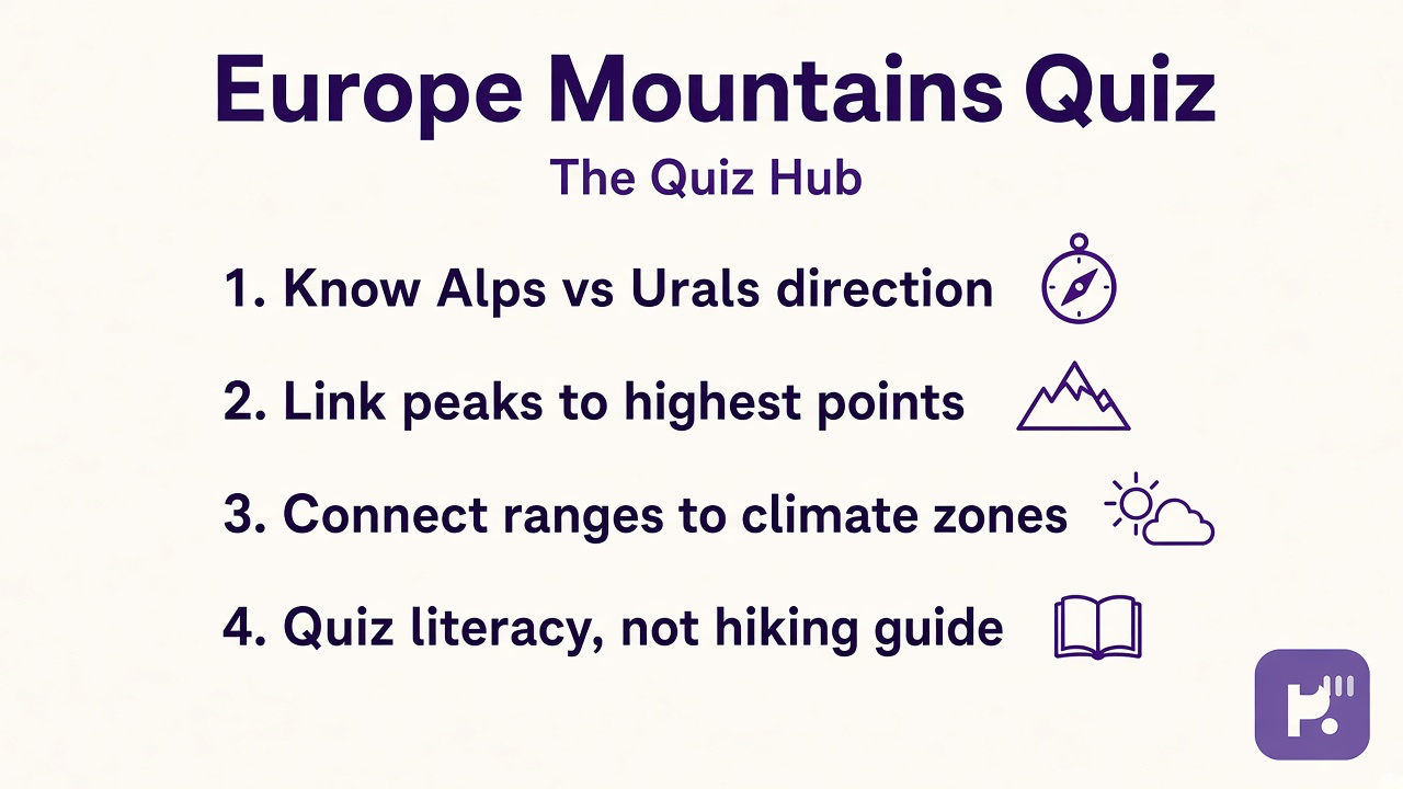
What this quiz can and cannot tell you
Can tell you
- Highlight which ranges, peaks, and relief links your self-report resembles this month
- Encourage cross-section and rain-shadow study beside name flashcards
- Separate map literacy from rope and avalanche training in plain language
- Offer a baseline if you retake after a physical geography unit
Cannot tell you
- Certify climbers, ski patrol staff, or mountain guides from range trivia alone
- Replace avalanche courses, park safety briefings, or licensed expedition leadership
- License mocking beginners, risky trail stunts, or altitude dunking online
- Substitute for instructor relief exams or formal geomorphology credentials
European ranges as classroom relief literacy
Mountain content online mixes useful relief maps with peak trivia that never attaches to direction, climate, or safety limits. Students need range chunks and honest separation from rope skills before they treat quiz bars like trail credentials.
Dr. James Whitfield reviews IQ and cognitive physical geography screeners with a simple split: reward honest range recall and honest safety limits at the same time. Major ranges keeps Alps, Pyrenees, Urals, Carpathians, and Apennines visible beside flat-Europe myths.
Peaks and direction keeps Mont Blanc, Elbrus, Scandinavian relief, and trend labels tied to map weeks instead of isolated altitude lists. Climate and relief keeps rain shadows, snow lines, and headwaters visible beside glacier-crossing fantasies.
Quiz not hiking guide keeps certified guides and avalanche education authoritative while refusing park mountaineer hiring myths from web bars.
Pair results with siblings on this hub instead of forcing one relief story. Our europe physical map quiz spreads plains, highlands, and physical features with its own stem bank. Our europe map quiz covers modern political outlines when country shapes need a parallel lane. Browse the IQ and cognitive test hub for more study screeners. Retake after one cross-section week; ranges stick when direction and climate stay in frame.
| Test | Focus |
|---|---|
| Europe physical map quiz | Broader physical features and relief shading rather than named range drills on this slug |
| Europe map quiz | Modern political placement rather than Alps-Urals range literacy here |
| IQ and cognitive hub | More study screeners when you want habits beside relief units |
Europe Mountains Quiz FAQ
What does Europe Mountains Quiz measure?
It measures major range placement, peaks and direction habits, climate and relief links, and quiz-not-hiking-guide limits. You get an index from 0 to 100 and four bars. It is classroom literacy, not climbing certification.
Does a high score mean I can skip guides on alpine routes?
No. Limit items separate map literacy from rope skills, weather windows, and avalanche education. Licensed guides and park rules own real trail safety.
Which ranges appear on this quiz?
Stems reference widely taught ranges such as the Alps, Pyrenees, Urals, Carpathians, and Apennines, plus peaks like Mont Blanc and Elbrus in introductory physical geography contexts.
How is this different from Europe Physical Map Quiz?
Europe Mountains Quiz focuses on named ranges, peaks, and relief-climate links. Europe Physical Map Quiz uses its own stem bank for broader physical features and shading habits.
Who reviewed this quiz?
Dr. James Whitfield, PhD reviewed the educational framing, safety limits, and result explanations. See our editorial policy for review standards.
Reviewed by